A civil engineering researcher connects satellite radar machine learning and field surveying to help communities understand ground movement
Ground movement can be difficult to see until its effects reach the surface. A road may settle unevenly, a drainage pattern may change, or a structure may begin to show stress after the underlying terrain has been shifting for years. For transportation agencies and local planners, the challenge is to identify that movement early enough to support better inspection and maintenance decisions.
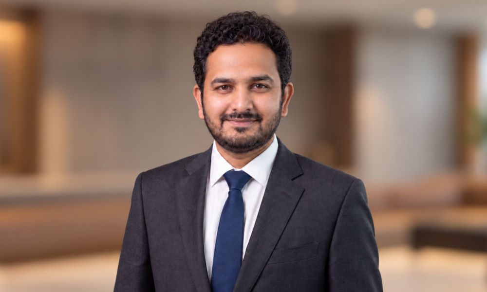
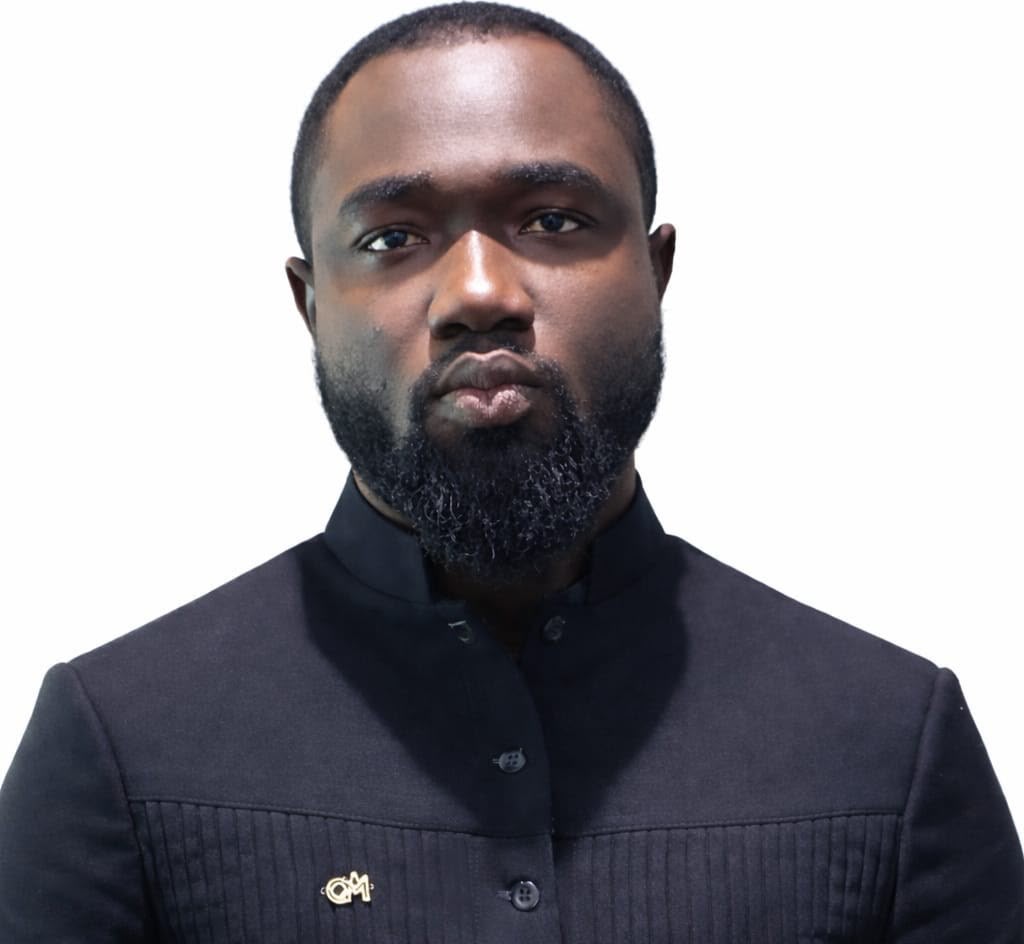
Desmond Kangah is working on that challenge by combining satellite radar, machine learning, and geospatial analysis. A PhD researcher in Civil Engineering with a concentration in Geodesy and Geomatics at Louisiana State University, he studies how land subsidence can be measured across large areas and how those observations can inform the management of transportation infrastructure. His research also extends to environmental monitoring, land cover mapping, and hazard susceptibility.
The connecting idea is practical: infrastructure managers need reliable ways to move from observation to interpretation. Satellite data can reveal where the ground is changing. Machine learning can help organize complex environmental relationships and forecast likely behavior. Field surveying can test whether those outputs match conditions on the ground. Kangah has built his research path around bringing those parts together.
Reading Ground Movement From Space
A central tool in Kangah’s work is interferometric synthetic aperture radar, usually called InSAR. The method compares radar observations collected by satellites on repeated passes over the same location. Differences in the radar signal can be used to map small changes in the Earth’s surface over time, including subsidence that may be difficult to detect through occasional field visits alone.
At LSU, Kangah has worked with Sentinel-1 radar imagery and two established InSAR approaches: Persistent Scatterer Interferometry and Small Baseline Subset processing. Persistent Scatterer analysis tracks stable radar targets through many images, while the Small Baseline method builds deformation time series from carefully selected image pairs. Together, these methods can show both the location and the progression of ground movement.
An accepted 2026 paper in the IEEE Journal of Selected Topics in Applied Earth Observations and Remote Sensing is titled PS-InSAR and Explainable Machine Learning for Local Transportation Infrastructure Stability in Baton Rouge. The study reflects his focus on connecting deformation measurements with models that can help explain why some areas are more susceptible than others. That emphasis on explainability matters when a technical result may influence where an agency directs field inspections or further analysis.
Kangah also validates satellite-derived deformation with Global Navigation Satellite System observations. This step connects regional coverage from space with measurements collected at specific locations. It provides an important check on whether a remote sensing signal represents actual surface movement and supports a more defensible interpretation of the resulting maps.
Adding Forecasts to the Deformation Record
Measuring past movement is only part of the problem. Infrastructure planning also benefits from understanding how deformation may develop over time. Kangah has therefore expanded his work from detection and susceptibility mapping into forecasting.
In a 2026 presentation for the European Geosciences Union General Assembly, Kangah and LSU researcher Ahmed Abdalla described a near-decadal analysis of land subsidence in East Baton Rouge Parish. The study used Sentinel-1 Small Baseline Subset InSAR time series covering 2017 through 2025. Extra Trees and Random Forest regression models combined the deformation record with geological, topographic, hydrological, land use, infrastructure, and climate-related factors to estimate susceptibility.
The forecasting stage used an ensemble of physics-informed long short-term memory networks. An LSTM is a neural network designed to learn patterns in sequential data. Adding physical constraints helps the model maintain realistic temporal behavior instead of producing a projection that fits the training data but conflicts with how deformation develops. The published abstract reports forecasts with quantified uncertainty, an essential qualification when model outputs may guide real-world decisions.
This combination of historical measurement, susceptibility modeling, and time-series forecasting creates a fuller picture of subsidence risk. The InSAR record indicates where movement has occurred. The machine learning models examine the conditions associated with that pattern. The forecasting model then estimates how the movement may continue, while uncertainty ranges show how much confidence to place in the projection.
Field Surveying Keeps the Models Grounded
Kangah’s approach is shaped by professional surveying experience as well as academic research. After earning a bachelor’s degree in Geomatic Engineering from the University of Mines and Technology in Ghana, he worked on road, construction, and mining projects where geospatial measurements had immediate operational consequences.
At the Ghana Highway Authority, he contributed to road corridor and drone surveys, computer-aided road design, and the setting out of horizontal and vertical alignments. He later served as Chief Surveyor for MAC Partners Mining Company, leading drone and topographic surveys for plant construction, power-line routing, volume computation, and three-dimensional design work. He is also certified by the Ghana Civil Aviation Authority as a remotely piloted aircraft systems operator.
That field background gives him a direct view of the conditions that remote sensing models are meant to describe. Satellite measurements provide reach and repetition, but local survey control, equipment knowledge, and an understanding of construction geometry remain important when a result is interpreted for an infrastructure setting. Kangah’s experience with total stations, real-time kinematic GPS, levels, and unmanned aircraft connects the analytical workflow to those practical requirements.
Building Tools for Applied Geospatial Work
Kangah’s project work also shows an interest in turning research methods into tools that other users can operate. In 2025, he developed a GeoAI application for water detection and segmentation from satellite imagery. The model used a U-Net architecture with a ResNet backbone and attention gates, and the application allowed users to export results in KML and shapefile formats that are familiar to geospatial professionals.
He has also built a land use and land cover segmentation model and deployed it through Hugging Face, created a web GIS application for urban planning, and used geospatial machine learning for landslide susceptibility mapping. Earlier projects included software for three-dimensional coordinate transformation, a common grid tool for mining operations, satellite-based water quality analysis, and rainfall forecasting with three decades of observations.
These projects span different environmental questions, but they share a consistent delivery pattern. Kangah works with remotely sensed or field data, develops an analytical model, and then produces an output that can be viewed, exported, or checked by a practitioner. That final step is important because even a technically strong model has limited value if its results cannot enter an existing planning or mapping workflow.
A Research Path From Ghana to Louisiana
Kangah’s route into GeoAI began with geomatics education in Ghana, supported by a full Ghana National Petroleum Corporation scholarship. At the University of Mines and Technology, he later returned as a teaching and research assistant, supporting instruction in photogrammetry, mine surveying, computer programming, and related geospatial subjects.
He joined LSU in 2024 and earned an MSc in Civil Engineering in 2026 while beginning his doctoral research. His academic record at LSU is 4.0, and his research presentations have included the Louisiana Transportation Conference, a geodynamics and geospatial research conference at the University of Latvia, and the European Geosciences Union General Assembly. LSU’s Department of Civil and Environmental Engineering recognized his poster work with honorable mentions in 2025 and 2026.
As a graduate teaching and research assistant, Kangah works across radar processing, machine learning, web mapping, and instruction. His technical toolkit includes Python, PyTorch, TensorFlow, Google Earth Engine, ArcGIS, QGIS, SNAP, ISCE2, PostGIS, and cloud computing. The breadth is useful because an operational geospatial system often depends on several stages, from data acquisition and processing to model development and map delivery.
What the Work Means for Infrastructure Planning
Land subsidence is not a single data problem. A useful monitoring system must distinguish persistent movement from noise, relate that movement to environmental and human factors, test the result against independent observations, and communicate uncertainty. Kangah’s work addresses each part of that chain through a mix of InSAR, explainable machine learning, physics-informed forecasting, and field validation.
For transportation agencies, this kind of approach could support more targeted investigation. A regional deformation map can help identify areas that merit closer attention. A susceptibility model can show which conditions are associated with elevated risk. A forecast can help analysts compare possible future behavior. None of those outputs replaces engineering inspection, but together they can provide evidence for deciding where detailed field assessment should begin.
Kangah’s trajectory also illustrates a wider change in geospatial engineering. Satellite archives now offer repeated observations over long periods, open-source software has expanded access to advanced processing, and deep learning can extract patterns from imagery at scale. The continuing need is to combine those capabilities with physical knowledge, transparent validation, and outputs that infrastructure professionals can use. That is the practical space in which Kangah is building his research career.
About Desmond Kangah
Desmond Kangah is a PhD researcher in Civil Engineering at Louisiana State University, specializing in Geodesy and Geomatics. His work focuses on InSAR-based land subsidence monitoring, GeoAI, environmental resilience, and geospatial tools for infrastructure planning. He holds an MSc in Civil Engineering from LSU and a BSc in Geomatic Engineering from the University of Mines and Technology in Ghana.