
Why Is Geospatial Data Analysis Crucial for Disaster Management?

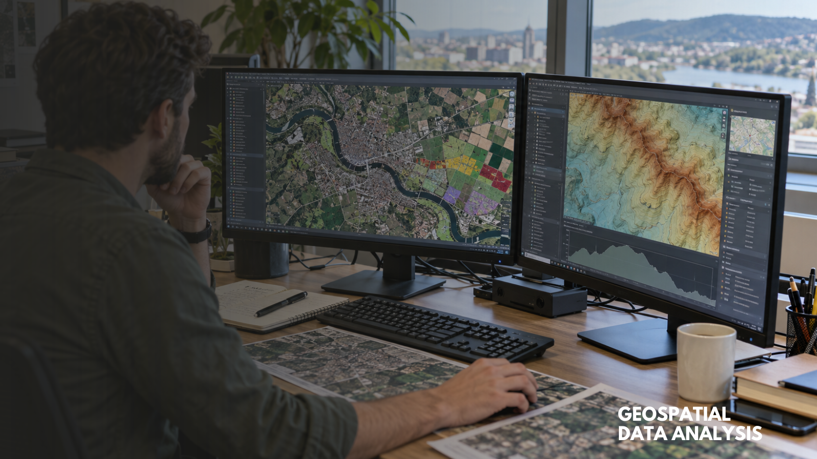
People need help responding to and preparing for ever-increasing natural disasters, which geographic information system (GIS) experts can provide. Data gathering is crucial to protect neighborhoods as harsh conditions become more common. These are a few ways management teams can assist those in need and strengthen communities against future weather events.
Which Types of Geospatial Data Analysis Are Useful After Natural Disasters?
Vector and raster data provide life-saving tools to geospatial data experts. GIS technology maps locations in detail using data points to create grids. Referencing previous maps makes it easy to tell which areas have been most affected by a climate disaster.
Remote sensing abilities are also useful. GIS management teams can use satellite imagery to capture updated images of affected spaces where people can’t travel due to road blockages or property damage. The photos could point out safer ways to access the spot or locations of survivors.
Ways Geospatial Data Analysis Helps With Disaster Management
GIS data is a much-needed tool for responding to natural disasters and helps neighborhoods prepare for future weather events. These are the specific ways the data assists people dealing with various climate disasters.
Earthquakes
Data from GIS technology tracks where emergency response resources are going after an earthquake. If one neighborhood is getting more food and water than another, it’s easier to tell with visual mapping data. Residents could receive more assistance in rural areas people would otherwise overlook because the neighborhoods aren’t in the visible vicinity.
Prevention teams use GIS maps to locate vulnerable areas based on previous seismic activity and tectonic plate monitoring. By predicting the most at-risk communities with pinpoint accurate data, disaster management teams can save lives by upgrading outdated infrastructure before the next earthquake hits.
Hurricanes
Massive tropical storms turn into hurricanes along the East Coast multiple times each year. When residents survive the storms and return to their daily lives, GIS teams can map the city’s infrastructure and target the most affected areas. A single landslide can block a major transportation corridor for days or weeks, and hurricane damage compounds that risk across entire regions. Rebuilding or unblocking roads, railroads, and highways means officials can get supplies and food faster for those still in need.
Impact data is a vital part of GIS disaster prevention. Geospatial data technology saves the pinpoint locations of most affected buildings and roadways after hurricanes. Viewing that information before a storm approaches lets experts know which roads and buildings may collapse more quickly due to past damage. People in those areas could get evacuation recommendations specific to their safety risks, allowing them to make informed decisions.
Tornadoes
After tornadoes damage or destroy towns, GIS management teams map the most affected areas to streamline emergency assistance. Teams like emergency medical responders and Federal Emergency Management Agency workers use the data to jump into action where they’re most needed.
GIS management teams might further assist affected community leaders between tornadoes by mapping emergency shelters. If pockets of a town have fewer tornado shelters than others, officials will know where to send their rebuilding resources to ensure more citizens can protect themselves in future storms.
Local leaders could layer GIS mapping data over each other to see where tornados touch down in their neighborhoods most frequently. Compiling years of satellite imagery in seconds allows experts to strengthen their areas with construction projects that can more easily withstand natural disasters.
The data can also indicate various weeks or months when tornados occur in specific towns. Construction projects fortifying local buildings and infrastructure could speed up their work by communicating with subcontractors and geospatial experts. Everyone could work on multiple sites simultaneously during the least at-risk times of the year.
Wildfires
Aerial surveys are a key way for geospatial data analysis to make emergency response and prevention easier for wildfire-prone regions. Satellites can map areas affected by wildfires and compare them to previous maps to assess the extent of wildfire damage in communities instantly.
Local leaders would be able to know specific information like how many residents now lack homes, which emergency response buildings aren’t available for use due to climate destruction and how many local farms will need to start from scratch before the community has the same amount of food again.
GIS data also points out vital information like the neighborhoods with the most fireproofed landscaping and driest brush on public grounds. Disaster management teams could use that data to predict spots that will ignite more quickly, indicating where prevention efforts like removing flammable fuels and creating defensive spaces around structures would be most useful.
Snowstorms
It’s incredibly challenging for emergency responders to do their jobs when communities become buried under multiple feet of snow. GIS mapping lays data points to reveal roads, homes and critical infrastructure. Experts can use those maps to dig through snowed-in areas, access survivors and clear road blockages without any guesswork.
The same data can trace where the heaviest snow falls by saving GIS data from previous storms. Those locations can get more resources like public investments in green energy or allocated funds to rebuilding programs so future long-term rebuilding efforts don’t set them back.
Geospatial Analysts Are Key for Disaster Response and Prevention
GIS management teams have life-saving technology at their disposal. Data collected from geospatial equipment can improve disaster recovery, save survivors and rebuild communities more effectively. As extreme weather events become more common, these teams will be crucial to structured responses.







Comment