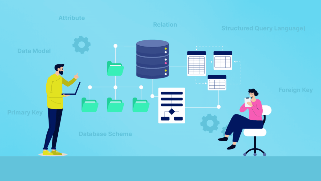
Most geospatial data problems aren’t data problems. They’re schema problems, the kind that surface weeks later when a downstream join silently breaks or store hierarchies collapse. Sometimes the issue only appears after an ML model trains on outdated place categories that no longer reflect how a business actually operates. A POI data schema isn’t just a storage format. It’s a contract between the data and everything that touches it: analytics systems, ML features, entity resolution logic, and the humans interpreting outputs at the end.
This article is about understanding that contract, what’s in a well-designed POI data schema, why certain design choices ripple downstream, and where teams routinely underestimate the complexity.
The Gap Between a Minimal Schema and a Production-Grade One
It’s tempting to treat point-of-interest data as simple: a name, a latitude/longitude, maybe a category tag. That’s sufficient for rendering a pin on a map. It falls apart very fast in any serious analytical or ML context.
A minimal schema gets you coordinates and a label. A production-grade POI data schema gives you a structured representation of a real-world entity, one that can be joined to other datasets, tracked over time, used as a training feature, and resolved across data sources without ambiguity.
The gap between the two isn’t cosmetic. Consider what you lose without a stable place identifier: every pipeline update that changes internal IDs breaks downstream joins. Without polygon geometry, trade-area analysis falls back on point-in-polygon approximations that consistently misclassify large-footprint locations like warehouses or big-box retail. Without a standardized category hierarchy, aggregating across a market requires manual normalization that introduces inconsistency between analysts.
Production-grade location intelligence data is built around those downstream requirements from the start.
Core Attributes vs. Enrichment Attributes
Understanding the distinction between core and enrichment attributes matters more than most teams realize when they’re designing pipelines.
Core attributes define the entity. These include the place name, coordinates (and ideally polygon geometry), a stable identifier, a primary category, and basic operational status. Without these, a POI record isn’t reliably usable for anything. They need to be present, accurate, and consistent across every record in the dataset.
Enrichment attributes extend the entity’s utility. Operating hours, brand affiliation, parent-child relationships, phone numbers, website URLs, confidence scores, and sub-category tags are all enrichment fields. They add analytical depth, but their presence varies across place types and data sources. A food truck won’t have consistent hours. A franchise location may have brand data but no independently maintained web presence.
This distinction shapes how you QA your data and how you handle missingness. Treating enrichment fields as required fields leads to false negatives, records excluded from analysis simply because a phone number wasn’t available, when the location, category, and geometry are perfectly usable. Treating core fields as optional produces unreliable joins and inconsistent ML feature sets.
SafeGraph’s POI schema separates core entity attributes from enrichment layers partly because enrichment completeness varies significantly across regions and place types. A national chain location in a dense metro area will have richer enrichment coverage than a single-location business in a rural county, and a schema that conflates the two ends up masking that signal rather than exposing it.
One particularly underappreciated enrichment field: confidence scoring. High-quality schemas attach a confidence value to key attributes, sometimes at the field level, indicating how certain the data provider is about that value’s accuracy. This is essential when using POI metadata as ML features, because it lets you weight or filter records based on data quality rather than treating all records as equally reliable. A place that exists in one source with unverified hours should propagate differently through a model than one verified across multiple authoritative sources.
The Category Problem: Taxonomies, NAICS, and Hierarchy
Category data is deceptively complicated. There are broadly two approaches: industry-standard taxonomies like NAICS (North American Industry Classification System) and proprietary hierarchies developed by data providers to better reflect the nuance of physical places.
NAICS codes offer interoperability, they’re government-defined, widely understood, and easy to join to economic and business data. But NAICS was designed for economic classification, not geospatial analysis. It doesn’t distinguish between a fast-casual restaurant and a fine dining establishment, both of which fall under the same four-digit code. For foot traffic analysis or site selection, that distinction matters.
Proprietary category hierarchies can offer more granularity and better fit for geospatial use cases. The tradeoff is reduced interoperability: custom hierarchies require mapping when joining external datasets that use NAICS or other standardized systems. In practice, large POI providers like SafeGraph often maintain both proprietary category hierarchies and mappings to standardized systems like NAICS because different downstream workflows require different levels of specificity, an ML model featurizing place type needs granularity; a regulatory dataset join needs NAICS compatibility.
The most useful schemas provide both : a primary category in a structured hierarchy with multiple levels (top-level sector → mid-level vertical → specific place type), alongside a mapped NAICS code. This lets analysts choose their level of granularity depending on the task, and preserves joint compatibility with external business or regulatory data.
Coordinates, Polygons, and the Geometry Decision
Every POI schema has to decide how to represent a place’s physical footprint. The two primary options are a centroid coordinate (a single lat/lon point, typically at or near the building entrance) and a polygon geometry (a boundary that defines the actual shape of the place).
Centroids are compact, easy to work with, and sufficient for many use cases: nearest-neighbor queries, simple radius-based filtering, or mapping applications where rendering speed matters. Polygons are heavier but geometrically accurate, they’re necessary for any analysis that depends on containment logic.
The real-world stakes become clear in a few scenarios. Foot traffic attribution, determining whether a device visited a specific place, can have significant error rates when relying only on centroids at locations with complex or irregular footprints: shopping malls, airports, large retail stores, or campuses. A centroid at a big-box retailer might be 200 meters from the parking lot edge. GPS signal noise plus a centroid-only schema produces false positives and false negatives that compound in aggregate analyses. In large-scale geospatial datasets like SafeGraph Places, polygon maintenance introduces a very different operational burden than centroid maintenance, polygons require ongoing validation against satellite imagery and building footprint changes that centroids simply don’t.
Parent-child relationships matter here too. A shopping mall is a parent place. Every individual store within it is a child. A schema that doesn’t model that hierarchy flattens the data in a way that makes it impossible to distinguish a visit to the mall from a visit to a specific tenant. For retail analytics or competitive intelligence, that distinction is the entire point.
Entity Resolution and the Stability Problem
One of the most operationally painful aspects of working with POI data at scale is entity resolution: ensuring that “Starbucks #12045 on Main Street” is consistently the same record across dataset versions, data sources, and time.
The fragmentation problem is more common than it looks. A single pharmacy chain might appear across sources as “CVS,” “CVS Pharmacy,” “CVS #11482,” and “CVS Health MinuteClinic”, four strings referring to operationally connected entities, each with different footprints and service offerings. Without stable identifiers and parent-brand relationships explicitly modeled in the schema, those records fragment across systems. Aggregate analysis becomes unreliable; competitive density metrics become meaningless.
Without a stable, universal identifier, every pipeline integration becomes a bespoke matching exercise. Teams end up writing fuzzy name-matching logic, normalizing address strings, and manually reconciling records that have changed names or moved. This is expensive, error-prone, and doesn’t scale.
The Placekey standard emerged as an attempt to address this, a shared, open identifier that encodes both the “what” and the “where” of a place, allowing datasets from different providers to be joined without requiring proprietary ID crosswalks. Adoption varies, but schemas that include Placekey or an equivalent stable identifier dramatically simplify multi-source joins and longitudinal tracking. It’s one of the reasons SafeGraph adopted Placekey as a standard field early, cross-dataset joins without a shared key consistently introduce more noise than the underlying data ever would.
Brand and chain relationships add another layer of complexity. A franchise location needs to be understood as both an individual entity (with its own hours, address, and local attributes) and as a member of a brand hierarchy. That chain relationship enables market-level aggregations, total Starbucks locations in a metro area, brand penetration by neighborhood, competitive density analysis, that are impossible if each location only stores its own local attributes without a link to a parent brand entity.
What This Means for Teams Building on POI Data
Schema design shapes what’s analytically possible, not just how data is stored. A geospatial data structure that lacks stable identifiers, confidence scores, and polygon geometry isn’t just incomplete, it actively creates downstream friction. ML features derived from poorly structured POI metadata propagate noise. Joins that rely on name-matching instead of stable IDs produce inconsistent results across pipeline runs. Category fields without a hierarchy force manual aggregation logic that different analysts implement differently.
Teams serious about location intelligence data need to evaluate schemas the same way they’d evaluate a database design: for correctness, for joinability, for temporal stability, and for the kinds of questions the structure makes answerable versus those it forecloses.
That evaluation matters even more now that POI data increasingly feeds directly into machine learning pipelines rather than sitting only inside BI dashboards or mapping systems. As geospatial workflows become more tightly integrated into ML systems, schema quality increasingly becomes a model quality problem rather than just a data management concern.
The schema decisions made at ingestion propagate forward into every feature, aggregation, and downstream prediction.
The underlying principle is straightforward, even if the implementation isn’t: a schema is not just a description of what data you have. It’s a definition of what you can do with it.
Questions to ask when evaluating a POI data schema:
- Does the dataset use stable, persistent place identifiers, or do IDs change between dataset versions?
- Are polygon geometries available, or does the schema only expose centroids?
- Is the category system hierarchical, and does it map to a standard taxonomy like NAICS?
- Are confidence scores exposed at the attribute level, or only as a record-level flag?
- How are parent-child relationships between places and brands modeled?
- Is enrichment completeness documented by region or place type, so missingness is interpretable rather than opaque?
Conclusion
For teams working on geospatial applications, retail analytics, mobility modeling, or any domain that relies on place data, the POI data schema is the foundation every downstream use case rests on. Getting it right, core versus enrichment attributes, polygon geometry, category hierarchies, stable identifiers, confidence scoring, and entity relationships, is what separates a dataset that works in production from one that requires constant remediation.
These are the kinds of schema design problems SafeGraph focuses on across large-scale geospatial workflows, particularly where consistency, joinability, and temporal stability matter downstream. If you’re evaluating location data for a production workflow, the schema documentation often tells you more about long-term usability than the sample dataset ever will.