The human desire to capture our planet’s surface from the air resulted in many failures. Finally, the renowned Nadar made the bird’s view photo from his balloon in 1858. Then, the first orbit-launched satellite opened dramatically new horizons for space and Earth discoveries in 1960.
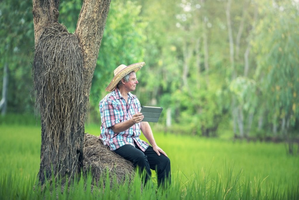
Over a span of time, mere curiosity found practical applications almost in every industry and sphere of life, including precision agriculture. Remote sensing and georeferencing gave unprecedented possibilities to check fields without physical presence, analyze historical data, and make prognoses. The wide use of smartphones, computers, and the internet encouraged quick technology adoptions.
Possibilities Of Remote Sensing
Nowadays, spatial imagery goes far beyond photo and video reporting in natural colors visible to the human eye. Optical and radar satellites provide multispectral images for comprehensive spatial analysis with multiple band combinations and color transformations. Applicable spectra comprise NIR, IR, TIR, microwave, among others.
The main types of remote sensing include active or passive devices that either have their source of illumination or rely on solar energy and reflectance or emittance properties of the target.
Onboard radars, lidars, spectrometers, radiometers, scatterometers, laser altimeters, sounders, and other remote sensing gadgets examine Earth within the established revisit time. What is more important, GIS technologies enable to correlate spatial data with geographic maps, thus monitoring the required area, be it a city, forest, mountain, water object, or farmland.
However, satellite imagery is not the only data source. The other options include:
- in-field equipment (installed in the ground or attached to GPS-navigated machinery);
- aerial sensors (mounted on aircrafts, drones, UAVs).
Nonetheless, ground sensors and drones involve additional cost inputs, require maintenance, and have restricted areas of operation. In-field sensors need initial calibration and periodic recalibration. As for UAVs, in many countries, you are supposed to register your drone and launch it only under license. Besides, the possibility of aircraft operations and the quality of aerial imagery strongly depend on weather conditions like wind or clouds.
Alternatively, SAR satellites’ piercing power makes them immune to atmospheric aerosols, enabling them to penetrate foliage and provide imagery day and night. On top of that, high-resolution images of the most distant and hard-to-reach places are available at open-access online portals for free.
Benefits For Agriculture
In agribusiness, remote sensing empowers farmers with comprehensive knowledge as to the state of their crops, which allows mitigating risks by reacting early. Data-driven vegetation indices timely signal discrepancies in plant development by correlating specific index values with certain growth stages. GPS-guided robots and machinery carry out field operations with better precision and endurance than humans.
Remote sensing is a credible source of geospatial data analytics, which performs numerous tasks to support agricultural needs:
- estimates vegetation health and reports on crop stress;
- detects weeds and pest infestations;
- measures soil moisture and helps to schedule irrigation events;
- provides current weather conditions and forecasts for the field;
- checks soil temperature and defines the best planting time;
- advises growers as to efficient fertilizer and seed distribution to reduce costs and eliminate nature pollution;
- determines historically productive crops and elaborates crop rotation schemes;
- generates field maps and identifies critical areas to assign scouting tasks;
- predicts yields.
Expectations For The Future
Remote sensing becomes an integral part of the agricultural business, empowering farmers with reliable analytics. Data accuracy powers faster and smarter decision making.
The choice of spatial data based software depends on the farming needs. Yet, all-in-one online tools with useful features, customizations, and demo accounts are often the most convenient options.
As the technology never stops to develop, agriculturalists can count on even better and cost-effective implementations in the future. The combined progress in physics, the aerospace industry, machine building, computer sciences, AI, machine learning, and robotics will ensure more accuracy and efficiency of upcoming solutions.