Imagine a world where getting lost is a thing of the past, where every step you take is guided by an invisible hand, and where the concept of “where am I?” is answered instantly with pinpoint accuracy. This isn’t science fiction—it’s the reality we live in today, thanks to Global Navigation Satellite Systems (GNSS). From the GPS in your smartphone to the complex networks guiding ships, planes, and even tractors, GNSS has become the unsung hero of modern life.
But what exactly is GNSS, and how is it transforming the way we live, work, and connect? More importantly, how does it impact you on a daily basis? Let’s dive into the fascinating world of satellite navigation and explore how this technology is quietly reshaping our world—one signal at a time.
The Invisible Backbone of Modern Life
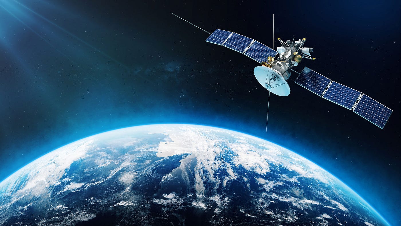
Global Navigation Satellite Systems, or GNSS, are networks of satellites orbiting the Earth, transmitting signals that allow receivers on the ground to determine their exact location. The most well-known system is the Global Positioning System (GPS), developed by the United States, but there are others like Russia’s GLONASS, Europe’s Galileo, and China’s BeiDou. Together, these systems form a global web of precision, enabling everything from navigation apps to disaster response.
At its core, GNSS works by calculating the time it takes for signals to travel from satellites to your device. By receiving signals from at least four satellites, your device can determine your latitude, longitude, altitude, and even the exact time. This process, known as trilateration, is the foundation of how GPS works. But while the science behind it is complex, the impact is simple: it makes life easier, safer, and more efficient.
From Morning Coffee to Midnight Strolls: GNSS in Everyday Life
Let’s start with your morning routine. You wake up and check your phone for the weather forecast. That forecast is powered by data collected from satellites, which monitor atmospheric conditions around the globe. Next, you open a navigation app to check the traffic on your way to work. The real-time traffic updates and suggested routes? All thanks to GNSS.
But it doesn’t stop there. If you’re a fitness enthusiast, you might track your morning run using a smartwatch or a fitness app. The map that shows your route, pace, and distance is created using GNSS data. Even your coffee habit is influenced by satellite technology—farmers use GNSS-guided tractors to grow and harvest coffee beans with incredible precision, ensuring a steady supply of your favorite brew.
As the day goes on, GNSS continues to play a role in your life. Delivery drivers use it to find the fastest routes to your doorstep. Public transportation systems rely on it to keep buses and trains on schedule. And if you’re traveling to a new city, GNSS-powered navigation tools help you explore with confidence, whether you’re walking, driving, or cycling.
Beyond Navigation: The Hidden Uses of GNSS
While navigation is the most visible application of GNSS, the technology’s reach extends far beyond maps and directions. Here are just a few examples of how GNSS is quietly transforming industries and improving lives:
1. Agriculture: Precision Farming
Farmers are using GNSS to revolutionize agriculture. Tractors equipped with GNSS receivers can plant seeds, apply fertilizers, and harvest crops with centimeter-level accuracy. This precision reduces waste, increases yields, and minimizes environmental impact. It’s a win-win for farmers and the planet.
2. Emergency Response: Saving Lives
When disaster strikes, every second counts. GNSS helps emergency responders locate survivors, map affected areas, and coordinate rescue efforts. During earthquakes, floods, or wildfires, satellite data can mean the difference between life and death.
3. Wildlife Conservation: Protecting Endangered Species
Researchers use GNSS to track the movements of animals, from elephants to sea turtles. By understanding migration patterns and habitat use, conservationists can develop strategies to protect endangered species and preserve biodiversity.
4. Construction: Building Smarter
In the construction industry, GNSS is used to survey land, guide heavy machinery, and ensure buildings are constructed with precision. This not only saves time and money but also improves safety on job sites.
5. Aviation and Maritime: Navigating the Skies and Seas
Pilots and ship captains rely on GNSS to navigate safely through the skies and oceans. From guiding planes during takeoff and landing to helping ships avoid collisions, GNSS is a critical tool for transportation.
The Challenges: Why GNSS Isn’t Perfect
While GNSS is incredibly powerful, it’s not without its limitations. Tall buildings, dense forests, and even bad weather can interfere with satellite signals, leading to inaccuracies. In urban areas, the “urban canyon” effect—where skyscrapers block or reflect signals—can make it difficult for devices to get a clear fix on your location.
To address these challenges, developers are creating hybrid systems that combine GNSS with other technologies, such as Wi-Fi, cellular networks, and inertial sensors.
These systems provide more reliable positioning, even in challenging environments.
Another issue is security. Because GNSS signals are transmitted from space, they can be vulnerable to spoofing or jamming. For example, a hacker could send fake signals to a drone, causing it to veer off course. To combat this, governments and companies are working on more secure systems, such as Europe’s Galileo, which offers encrypted signals for authorized users.
The Future of GNSS: What’s Next?
As technology continues to evolve, so too will GNSS. Here are a few trends to watch in the coming years:
1. Higher Accuracy
New systems like Galileo and BeiDou promise accuracy down to the centimeter level. This will enable applications like autonomous vehicles, which require ultra-precise positioning to navigate safely.
2. Integration with 5G
The rollout of 5G networks will enhance GNSS by providing faster, more reliable connectivity. This will enable real-time applications, such as remote surgery or augmented reality navigation.
3. Expansion into New Industries
From healthcare to entertainment, GNSS is finding new applications. For example, doctors could use GNSS to track medical equipment in hospitals, while gamers could use it to create immersive location-based experiences.
4. Sustainability
As the world focuses on sustainability, GNSS will play a key role in optimizing resource use. For example, farmers can use GNSS to reduce water and fertilizer use, while cities can use it to improve public transportation and reduce emissions.
How You Can Harness the Power of GNSS
Whether you’re a tech enthusiast or just someone who appreciates convenience, GNSS has something to offer. One way to explore its potential is through tools like Buddy Locator, a website that leverages GPS technology to help families and friends stay connected. Whether you’re tracking a loved one’s journey or ensuring your child’s safety, Buddy Locator makes it easy to harness the power of GNSS in a meaningful way.
Conclusion: A World Connected by Satellites
Global Navigation Satellite Systems have come a long way since their inception. What started as a military tool has evolved into a global utility, touching nearly every aspect of our lives. From the moment you wake up to the moment you go to bed, GNSS is there, quietly guiding you through your day.
As we look to the future, the possibilities are endless. With advancements in accuracy, security, and integration, GNSS will continue to transform industries, improve lives, and connect the world in ways we can’t yet imagine. So the next time you use your phone to find a nearby restaurant or track a package, take a moment to appreciate the incredible technology behind it—and the satellites overhead that make it all possible.