Maxar has unveiled Raptor, a first kind of software that unlocks next-gen GPS resilience for autonomous systems.
Takeaway Points
- Maxar Unveils Raptor.
- This technology changes the resilience and reliability of unmanned systems.
- On Feb 4, 2025, Maxar launched the fifth and sixth WorldView Legion satellites.
Software for Next-Gen GPS
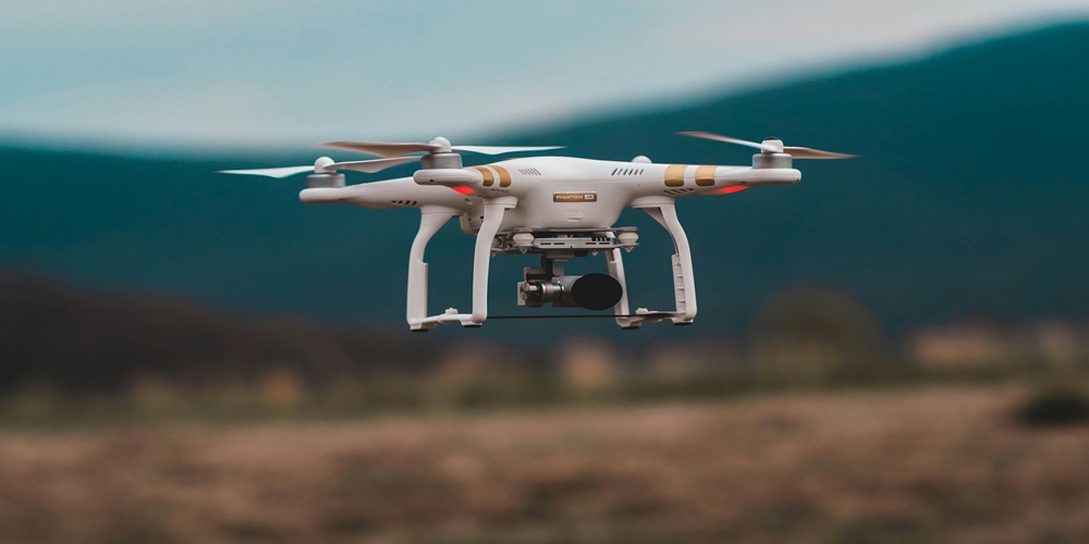
Maxar Intelligence, the leading provider of secure, precise geospatial insights, on Tuesday announced that it has launched Raptor, a powerful software suite that enables autonomous drones to navigate and extract accurate ground coordinates in the absence of GPS. This technology changes the resilience and reliability of unmanned systems, enabling autonomy at scale across warfighting, humanitarian, and commercial operations for customers across the world.
Raptor can operate at night and in low-terrain environments, and no extra hardware is required, the company said.
Peter Wilczynski, Chief Product Officer at Maxar Intelligence, commented, “By eliminating reliance on GPS, Raptor software unlocks the full potential of autonomous systems—from powering truly joint multi-domain operations as part of a digital battlefield to large-scale delivery systems in urban areas where knowing the precise coordinates of your drop-off location is critical to getting the job done. Raptor will change the game for customers across the defense and commercial sectors. This software uses Maxar’s unique 3D global terrain data to ensure that autonomous systems get the job done no matter how much GPS interference they face.”
The Raptor suite of software solutions
According to the report, the Raptor suite of software solutions includes Raptor Guide, Raptor Sync, and Raptor Ace, a software solution installed on commodity laptop equipment that works alongside drone controllers, enabling operators to extract real-time target ground coordinates from full-motion aerial video feeds with a demonstrated absolute accuracy of <3 m.
Maxar Launches Fifth and Sixth WorldView Legion Satellites
On Feb 4, 2025, Maxar Intelligence, in a news report, confirmed that its fifth and sixth WorldView Legion satellites are performing well after being launched into mid-inclination orbit from Kennedy Space Center, Florida, on a SpaceX Falcon 9 rocket earlier today.
Maxar now has seven satellites in orbit capable of collecting 30 cm-class imagery, with this successful launch representing a significant increase in very-high resolution imagery capacity and marking a new era for the geospatial industry.
Dan Smoot, Maxar Intelligence CEO, said, This incredible achievement puts Maxar in a category of its own within the geospatial industry, and it’s been made possible thanks to the hard work, dedication, and talent of the many people who have supported this program over the years. This is just the beginning. This additional capacity enables us to collect more timely data over more locations, and it will further fuel the industry’s most advanced 2D and 3D geospatial content products.”
About Maxar Intelligence
Maxar Intelligence is a leading provider of secure, precise geospatial insights. Operating the most advanced commercial Earth observation constellation on orbit, we use the power of very high-resolution satellite imagery and software technology to deliver mission success on Earth and in space. Our secure, AI-powered products and services deliver ground truth in near real-time to keep nations safe, improve navigation, protect our planet, speed up disaster response, and more. For more information, visit www.maxar.com.