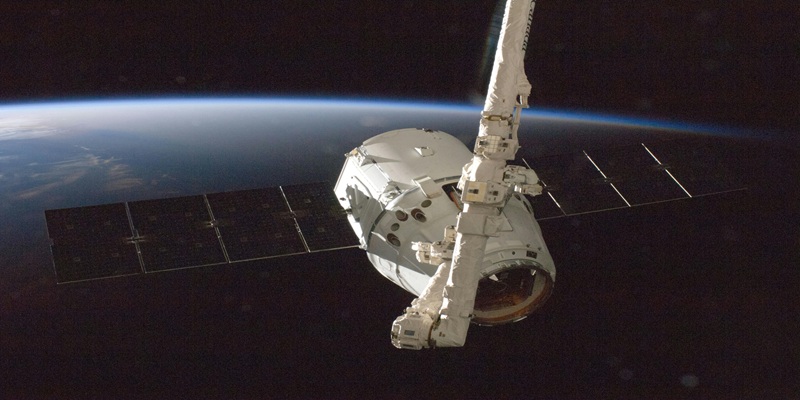
Satellite imaging is often linked to space exploration. Many assume it’s just for studying planets and distant galaxies. However, its applications go far beyond astronomy. From agriculture to disaster management, satellite imaging plays a critical role in various fields.
Agriculture and Precision Farming
Modern farming relies on technology. Satellite imaging helps farmers monitor crops, soil, and weather patterns. With precise data, they can make informed decisions. For example, images can show drought-prone areas or pest infestations. Farmers can then apply water and pesticides only where needed. This reduces waste and boosts crop yields.
Satellite data also improves land mapping. Farmers can identify fertile zones and optimize planting. Moreover, it helps in forecasting agricultural productivity. By analyzing vegetation indices, farmers can predict harvest outcomes. This leads to better food security and efficient resource management.
Environmental Monitoring and Climate Change
Climate change is a global concern. Satellite imaging provides crucial data on environmental changes. Scientists track deforestation, ice melting, and rising sea levels. This helps in understanding long-term climate shifts.
Forest conservation efforts rely heavily on satellite images. Governments and environmentalists can spot illegal logging activities. Satellite data also detects oil spills and pollution levels in oceans. This enables quick response and minimizes environmental damage.
Another key application is tracking greenhouse gas emissions. Satellites measure carbon dioxide and methane levels in the atmosphere. With this data, policymakers can enforce better environmental regulations.
Disaster Management and Emergency Response
Natural disasters strike without warning. Satellite imaging plays a crucial role in disaster response. It provides real-time images of affected areas. This helps emergency teams assess damage and plan relief efforts effectively.
For instance, during hurricanes, satellites track storm paths. This helps authorities issue early warnings and evacuate people in time. In cases of wildfires, satellite images identify fire spread patterns. This aids firefighters in containing the blaze faster.
Earthquakes and floods also benefit from satellite imaging. It helps in mapping affected zones and directing rescue missions. Additionally, post-disaster recovery becomes easier. Satellite images guide reconstruction efforts by assessing infrastructure damage.
Urban Planning and Smart Cities
Cities are growing rapidly. Proper urban planning is essential for sustainable development. Satellite imaging provides detailed city layouts. Planners can analyze traffic patterns, green spaces, and land use.
With satellite data, authorities can improve transportation systems. They can identify congested areas and design better road networks. Moreover, it helps in monitoring illegal construction activities.
Smart cities use satellite data for energy management. By analyzing solar exposure, cities can plan solar panel installations. It also aids in waste management by tracking landfill sites and recycling centers.
Defense and National Security
Governments rely on satellite imaging for security purposes. It helps in border surveillance and monitoring military activities. By tracking movement patterns, defense agencies can prevent potential threats.
Satellite images also assist in counter-terrorism efforts. They help in locating hidden bases and tracking suspicious activities. Additionally, satellite data aids in maritime security. Countries use it to monitor illegal fishing and piracy in their waters.
Telecommunications and Connectivity
Communication networks depend on satellites. Remote areas with no infrastructure benefit from satellite-based internet. Companies like SpaceX are launching satellite constellations to provide global broadband access.
Satellite imaging also helps in monitoring communication towers. It ensures they are functioning correctly. Additionally, it assists in tracking submarine cables that carry internet traffic across continents.
Archaeology and Historical Preservation
Archaeologists use satellite imaging to uncover lost civilizations. High-resolution images help in identifying ancient structures buried under forests or deserts.
For example, satellite images led to the discovery of hidden pyramids in Egypt. They also help in monitoring cultural heritage sites. Governments use them to prevent looting and illegal excavations.
Additionally, satellite imaging helps in preserving historical sites. By tracking environmental damage, authorities can take necessary conservation measures.
Oceanography and Marine Research
The ocean covers over 70% of Earth. Studying it is challenging without satellite imaging. Satellites help in tracking ocean currents, sea temperature, and marine biodiversity.
Scientists use satellite data to monitor coral reefs. They assess bleaching events caused by climate change. Additionally, satellite imaging assists in studying marine life migration patterns. This helps in conservation efforts.
Oil spills and ocean pollution are also monitored through satellites. They help authorities take swift action to minimize ecological damage.
Conclusion
Satellite imaging is not just about space exploration. It has transformed industries worldwide. From agriculture to security, its applications are vast and diverse. As technology advances, the potential for satellite imaging will only grow. It continues to shape the way we understand and interact with our planet. Businesses, governments, and researchers rely on it daily. Whether for climate monitoring or urban planning, satellite imaging remains a crucial tool. The future holds even greater possibilities. With continuous advancements, we can expect more innovative applications in years to come.


