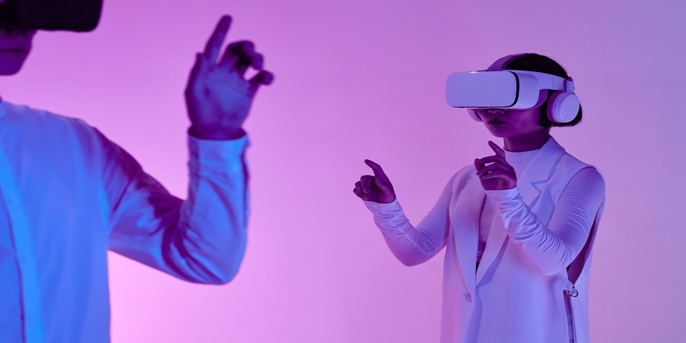
As we continue to embrace the digital age, innovation in navigation technology is rapidly evolving. Imagine a world where getting lost is no longer an option, where finding your way around a new city becomes as simple as looking through your phone’s camera. Welcome to the future of navigation – navigating with augmented reality maps. In this blog post, we’ll dive into how AR maps are revolutionizing the way we navigate our world and what exciting possibilities lie ahead.
Augmented Reality (AR) and its Role in Navigation
Imagine a world where navigating through bustling city streets or winding mountain trails is not just about following a map on your phone but stepping into an era where digital information seamlessly merges with the physical environment. Welcome to the future of navigation, where Augmented Reality (AR) maps are revolutionizing how we find our way from point A to point B. Let’s dive into the exciting world of navigating with AR maps and discover how this technology is reshaping our journey towards new destinations.
Benefits of Navigating with AR Maps
Augmented Reality (AR) maps offer a range of benefits that revolutionize the way we navigate and explore our surroundings. One key advantage is the ability to overlay digital information onto the real world, providing users with interactive and immersive guidance. This means you can see directions, points of interest, and other relevant data directly in your field of view without having to constantly switch between screens or apps.
Another benefit is enhanced spatial awareness. AR maps use advanced technology to accurately display routes and locations in relation to your physical environment, making it easier to understand directions and make informed decisions while on the move. This feature proves especially useful in unfamiliar areas or complex urban settings where traditional maps may fall short.
Additionally, AR navigation promotes safer travels by allowing users to keep their eyes focused on their surroundings rather than constantly looking down at a screen for instructions. By displaying information in a more natural and intuitive way, AR maps help reduce distractions and improve overall situational awareness during navigation tasks.
Comparison with Traditional Maps and GPS Systems
When it comes to navigating the world around us, traditional maps and GPS systems have long been our go-to tools. Traditional maps provide a physical representation of locations, offering a sense of familiarity and nostalgia that many people appreciate. However, they can be bulky to carry, difficult to fold back up neatly, and are often limited in real-time updates.
On the other hand, GPS systems revolutionized navigation by providing turn-by-turn directions and real-time traffic updates. They are convenient and reliable for getting from point A to point B efficiently. Yet, they can sometimes lack detail when it comes to exploring specific areas or landmarks along the way.
Augmented Reality (AR) maps take navigation to a whole new level by overlaying digital information onto the physical world in real time. This means users can see directions or points of interest superimposed on their actual surroundings through their devices’ camera lenses – creating an immersive and interactive experience unlike any other!
How Does AR Mapping Work?
Augmented Reality (AR) mapping is a cutting-edge technology that overlays digital information onto the real world, providing users with an enhanced navigation experience. The process begins by capturing real-world data through sensors like GPS, cameras, and accelerometers. This data is then processed to create a 3D model of the environment.
Once the 3D model is generated, AR algorithms superimpose relevant information such as directions, points of interest, and even interactive elements onto the user’s view. By utilizing markers or geolocation services, AR maps can accurately align digital content with physical surroundings in real-time.
Users interact with AR maps through devices like smartphones or specialized AR glasses. These gadgets display the augmented view while integrating sensory inputs to ensure accurate positioning and orientation for seamless navigation. As users move within their environment, the AR map adjusts in real-time to provide updated guidance and information.
The result? A dynamic and immersive navigation experience that bridges virtual content with reality seamlessly – revolutionizing how we perceive and interact with spatial information on-the-go.
Examples of AR Navigation Apps and Devices
Augmented Reality (AR) navigation apps and devices are revolutionizing the way we navigate the world around us. One notable example is Google Maps with AR functionality, allowing users to see directions overlaid on the real environment through their smartphone camera. This feature provides a more intuitive way of following directions, especially in busy urban areas where traditional maps can be confusing.
Another innovative AR navigation app is Citymapper, which integrates public transportation information with AR technology to guide users seamlessly through cities. By overlaying transit routes and stops onto the streetscape in real-time, Citymapper helps travelers easily find their way around unfamiliar cities.
Moreover, wearable devices like smart glasses are also incorporating AR for navigation purposes. Companies like Microsoft with HoloLens are developing AR glasses that can display interactive maps and directions right before your eyes, enhancing the user experience even further.
Potential Challenges and Limitations of AR Mapping Technology
Augmented Reality (AR) mapping technology is undoubtedly innovative, but it does come with its own set of challenges and limitations. One major challenge is the need for high-quality data to ensure accurate overlaying of digital information onto the real world. This can be a hurdle in areas with poor connectivity or limited geographical data availability.
Another limitation is the potential for distraction that AR maps may pose to users, as they navigate through their physical environment while engaging with digital displays. Safety concerns arise from users being too immersed in the virtual information rather than focusing on their surroundings.
Moreover, there are privacy concerns associated with AR mapping, as these systems gather extensive location-based data about users’ movements and interactions. Ensuring user privacy and securing this valuable data against breaches remains a critical issue in the development of AR navigation technologies.
The Impact of AR Maps on the Future of Navigation
With the advancement of technology, augmented reality (AR) maps are revolutionizing the way we navigate our world. The impact of AR maps on the future of navigation is profound and far-reaching.
Imagine being able to see real-time directions overlaid onto your surroundings as you walk or drive, making it almost impossible to get lost. This level of immersion and accuracy enhances not only convenience but also safety.
The integration of AR into navigation opens up a world of possibilities for businesses as well. Imagine restaurants popping up on your map with reviews and menus as you pass by, or historical landmarks providing interactive tours through your device.
As AR mapping technology continues to evolve, we can expect smoother navigation experiences that seamlessly blend virtual information with the physical world around us. Embracing this future means embracing a new era where getting lost may become a thing of the past.
Conclusion
With the emergence of augmented reality technology, the future of navigation is incredibly exciting. Thanks to AR maps, we can look forward to a more intuitive and hands-free navigation experience that will revolutionize the way we explore new places. The combination of real-world surroundings with digital information provides a seamless and efficient way to navigate, making it easier than ever before for people to travel confidently and efficiently. As this technology continues to evolve, there’s no doubt that navigating with AR maps will become the standard for all travelers in the near future.


